Warte is an ancient and historically significant village in Kurdistan. The village suffered severe destruction during the chemical attacks of the Ba’athist regime in 1988. Like many other villages in the region, Warte was burned and destroyed, leaving its residents displaced. The village was later rebuilt in 1992, restoring its infrastructure and homes.
In 2001, local elections were held in Warte, and in 2008 the village officially became recognized as an administrative district. By 2009, Warte was formally established under the name Warte Subdistrict Administration, providing governance and public services to the area.
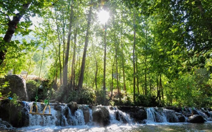
Warte is located in a mountainous region surrounded by several prominent peaks. These include Karukh Mountain, the Darabi Mountain Range, the Dizla Mountain Range, and the Shtaran Mountain Range. The subdistrict shares borders with Choman District to the northeast, Rawanduz District to the west, Soran District to the southeast, and Ranya District to the north.
The region’s geography is well-suited for agriculture. The total arable land covers approximately 2,273 hectares. Out of this, 1,200 hectares are irrigated, while 1,073 hectares are rain-fed farmland. Local farmers grow cereals, fruits, and vegetables, relying heavily on seasonal rainfall.
Rainfall in Warte varies across the year. Winters and autumns are cold and wet, while spring and summer are dry and warm. The annual precipitation ranges from 600 mm to 1,100 mm, with snow accumulation reaching 30 cm to 50 cm in some areas. These climatic conditions have shaped the village’s agricultural practices and lifestyle for generations.
Warte today stands as a symbol of resilience. Despite past destruction, its communities have rebuilt homes, schools, and infrastructure, preserving both the cultural heritage and natural beauty of this historic region.